-
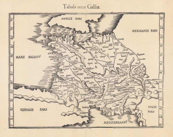
 Martin Waldseemüller & Laurent Fries, Tabula nova Galliae, 1541£ 885.00
 -
Claudius Ptolemy & Laurent Fries, Ptolemaic Map of France, 1541£ 1,750.00
-
Sebastian Münster, Galliae Regionis Nova Descriptio, 1558£ 485.00
-
Cornelis De Jode, Nova Totius Galliae Descriptio, 1593£ 3,200.00
-
Abraham Ortelius, France, 1598£ 1,750.00
-
Mercator Hondius, Gallia, 1621£ 475.00
-
Jan Jansson, Gallia, 1627£ 3,950.00
-
Mercator Hondius, Gallia, 1630£ 300.00
-
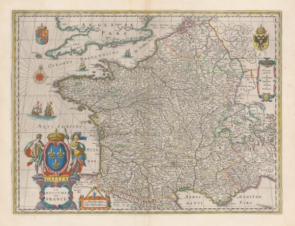
Willem & Jan Blaeu, France, 1650 c.£ 1,600.00
-
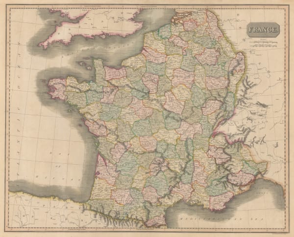
John Speed, France, 1676£ 4,500.00
-
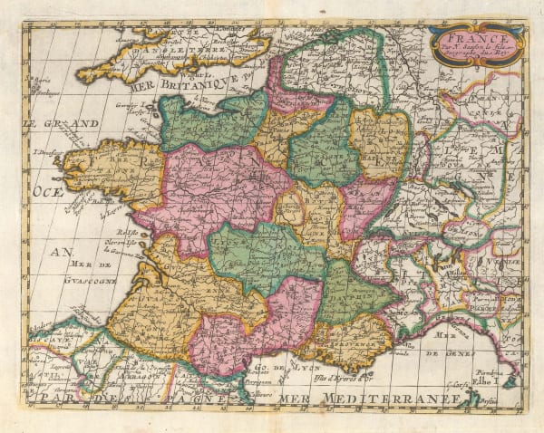
Pierre Duval, La France, 1676£ 950.00
-
Frederick De Wit, Accuratissima Galliae Tabula Vulgo Royaume de France, 1690 c.£ 800.00
-
Johann Ulrich Muller, Franckreichs Theile, 1692£ 150.00
-
Robert Morden, France, 1693£ 98.00
-
Nicolas Sanson, France, 1700£ 350.00
-
Pieter van der Aa, La France, 1713£ 325.00
-
Pieter van der Aa, La France, 1714£ 345.00
-
Christoph & Johann Christoph Weigel, Gallia, 1720 c.£ 245.00
-
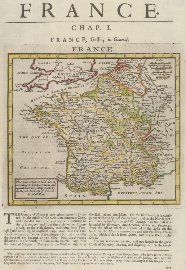
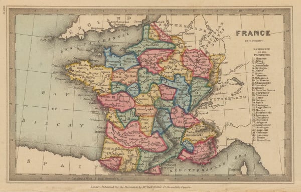
Herman Moll, France, 1723£ 140.00
-
Herman Moll, A New and Exact Map of France, 1730 c£ 2,550.00
-
Covens (Jean) & Mortier (Cornelius), La France, 1730 c.£ 245.00
-
Matthaus Seutter, Gallia, 1740 c.£ 625.00
-
Herman Moll, A New Map of France According to the Newest Observations, 1745£ 115.00
-
Johann Georg Schreiber, Reise Charte durch Frankreich, 1749£ 145.00
-
Le Royaume de France et Les Conquetes de Louis le Grand, 1750 c.Tobias Conrad LotterSeries: AugsburgTobias Conrad Lotter, Le Royaume de France et Les Conquetes de Louis le Grand, 1750 c.£ 785.00
-
Herman Moll, France, 1755 c.£ 145.00
-
Tobias Conrad Lotter, Totius Regn. Galliae sive Franciae Tabula, 1755 c.£ 125.00
-
Covens (Jean) & Mortier (Cornelius), Galliae Regnum in Omnes Suas Provincias Accurate Divisum, 1758 c.£ 575.00
-
Thomas Salmon, France, 1759£ 275.00
-
Willem Albert Bachiene, Nieuwe en Naukeurige Kaart van Frankryk, 1772£ 365.00
-
William Faden, France, Divided into Metropolitan Circles, Departments & Districts: As Decreed by the National Assembly, 1792£ 485.00
-
Laurie & Whittle, A New map of the Kingdom of France, 1794£ 375.00
-
John Russell, France, 1795£ 48.00
-
Franz Von Reilly, Karte von Frankreich, 1795£ 100.00
-
Andrew Bell, France, 1797£ 68.00
-
-
-
Robert Wilkinson, France Divided into Provinces, 1805£ 55.00
-
John Wilkes, France, in 1805, 1805£ 65.00
-
John Cary, A New Map of France agreeable to its division into Provinces, 1806£ 245.00
-
William Guthrie, France Comparative en Provinces et en Departemens, 1807£ 58.00
-
John Pinkerton, France, 1809£ 195.00
-
William Faden, The French Empire and the Kingdom of Italy, 1813£ 1,450.00
-
John Thomson, France, 1814£ 175.00
-
C.V. Lavoisne, Geographical and Historical Map of France, 1816£ 175.00
-
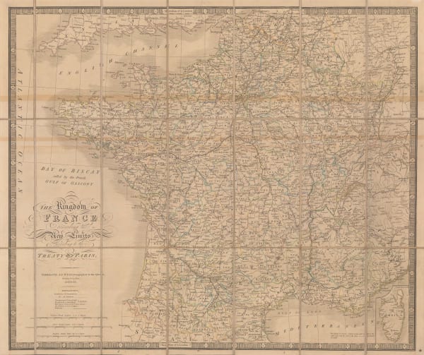
William Faden, The Kingdom of France, 1816£ 475.00
-
John Thomson, France, 1817 c.£ 115.00
-
William Faden, France Divided into Military Governments as in 1790, 1819£ 45.00
-
George Ellis, France, 1819 c.£ 48.00
-
Henry Fisher, France, 1823£ 48.00
-
Thomas Starling, France, 1830 c.£ 52.00
-
W. & A.K. Johnston, France, 1840 c.£ 85.00
-
James Wyld, The Kingdom of France, 1844 c.£ 295.00
-
Henry Teesdale, France, 1847£ 75.00
-
Samuel Augustus Mitchell, France, 1847 c.£ 95.00
-
Gall & Inglis, France in Departments, 1850 c.£ 65.00
-
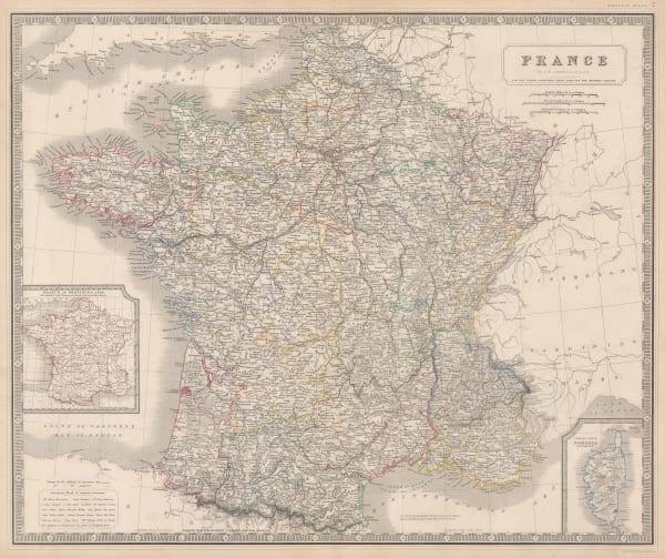
John Tallis, France, 1851£ 195.00
-
Charles V. Monin, Empire Francais, 1853£ 58.00
-
A. & C. Black, France in Provinces, 1856£ 34.00
-
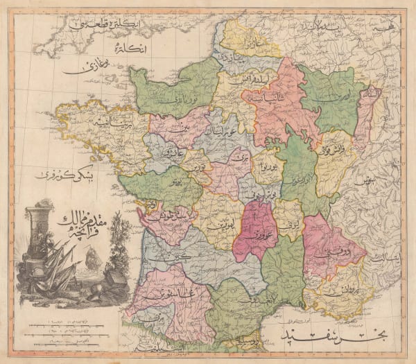
Aleph, France, 1869£ 1,350.00
-
Heinrich C. Kiepert, Frankreich, 1878£ 68.00
-
Arbuckle Brothers Company, [France], 1889£ 125.00
-
J. Migeon, France par Departements, 1891£ 50.00
-
Lilian Tennant, France, 1912£ 220.00
-
R. Bolze, Carte de la France (Routiere et Kilometrique), 1930 c.£ 175.00
-
André Galland, French Anti-Disarmament Propaganda, 1932£ 1,800.00
-
French State Railway, International Exposition 1937, 1937£ 2,000.00
Close
Search Inventory
Our entire inventory of over 10,000 antique and vintage maps is now available to browse by region, date, cartographer, and subject


![Arbuckle Brothers Company, [France], 1889](https://artlogic-res.cloudinary.com/w_600,c_limit,f_auto,fl_lossy,q_auto/artlogicstorage/themaphouse/images/view/9f14aa135e62f032f2d7621b973d20f5j/themaphouse-arbuckle-brothers-company-france-1889.jpg)


Join our mailing list
* denotes required fields
We will process the personal data you have supplied to communicate with you in accordance with our Privacy Policy. You can unsubscribe or change your preferences at any time by clicking the link in our emails.
![]()